Contractor: Lockheed-Martin Corp.
Service: United States Air Force
Power Plant: Four Rolls-Royce AE 2100D3 turboprops
Speed: 417 mph
Range: 1,841 miles
Crew: Five (pilot, co-pilot, navigator, aerial reconnaissance weather officer and weather reconnaissance loadmaster/dropsonde system operator)
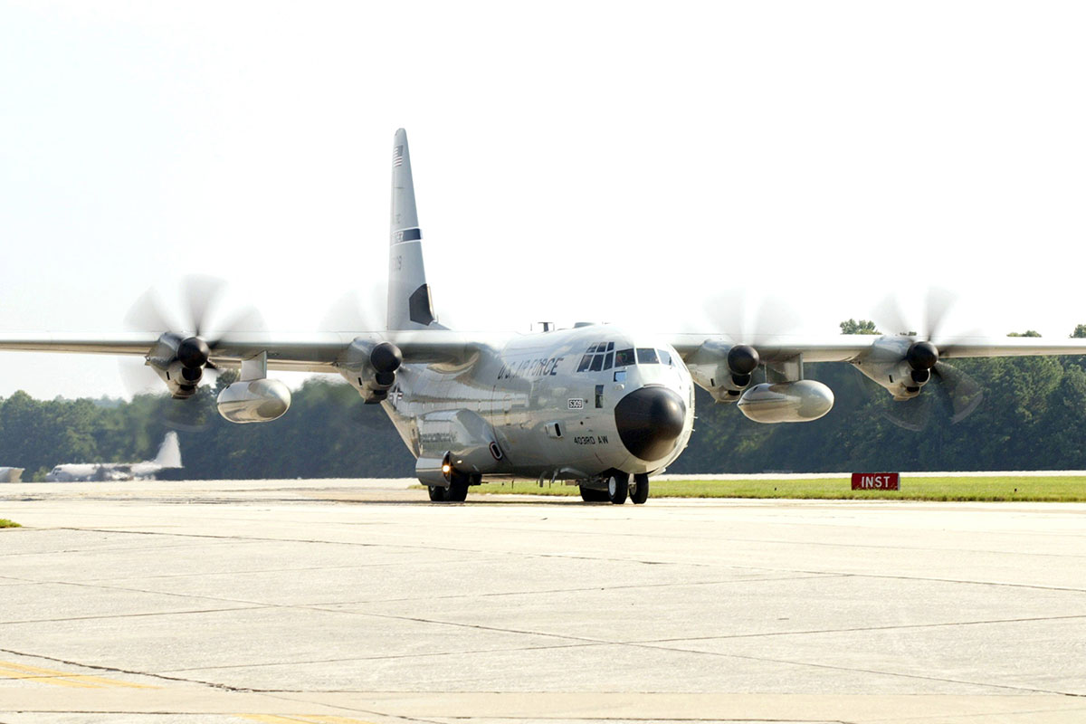
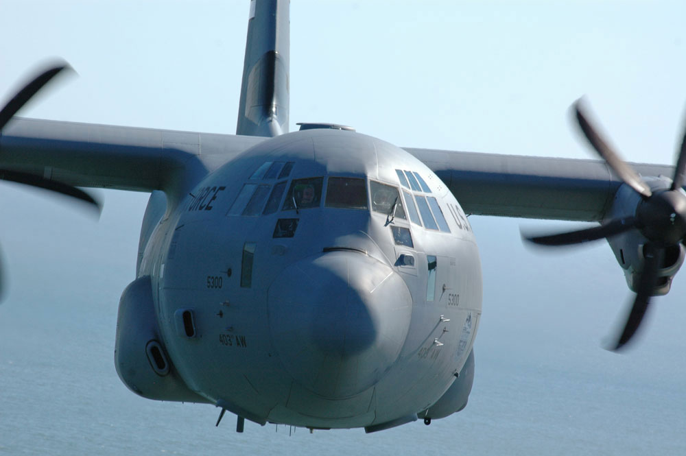
The WC-130 Hercules is a high-wing, medium-range aircraft flown by the Air Force Reserve Command for weather reconnaissance missions. The aircraft penetrates tropical disturbances and storms, hurricanes and winter storms to obtain data on movement, size and intensity. The WC-130J is the weather data collection platform for the 53rd Weather Reconnaissance Squadron located at Keesler Air Force Base, Miss.
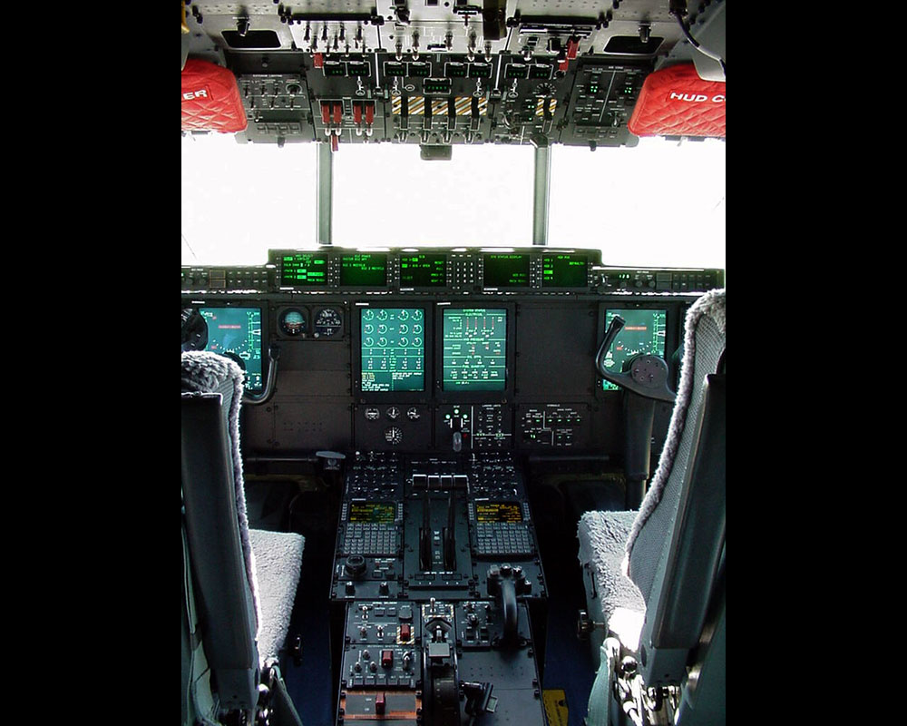
The WC-130J is a C-130J transport configured with palletized weather instrumentation that collects weather data, and is capable of staying aloft almost 18 hours at an optimum cruise speed of more than 300 mph.
The WC-130 is a “hurricane hunter” aircraft and provides vital tropical cyclone forecasting information. It penetrates tropical cyclones and hurricanes at altitudes ranging from 500 to 10,000 feet (151.7 to 3,033.3 meters) above the ocean surface depending upon the intensity of the storm.
An average weather reconnaissance mission might last 11 hours and cover almost 3,500 miles while the crew collects and reports weather data. The WC-130J carries a minimal crew of five: pilot, co-pilot, navigator, aerial reconnaissance weather officer and weather reconnaissance loadmaster.
The aircraft is equipped with two external 1,400 gallon (5,320-liter) fuel tanks and an internal 1,800 gallon (6,480 liter) fuel tank.
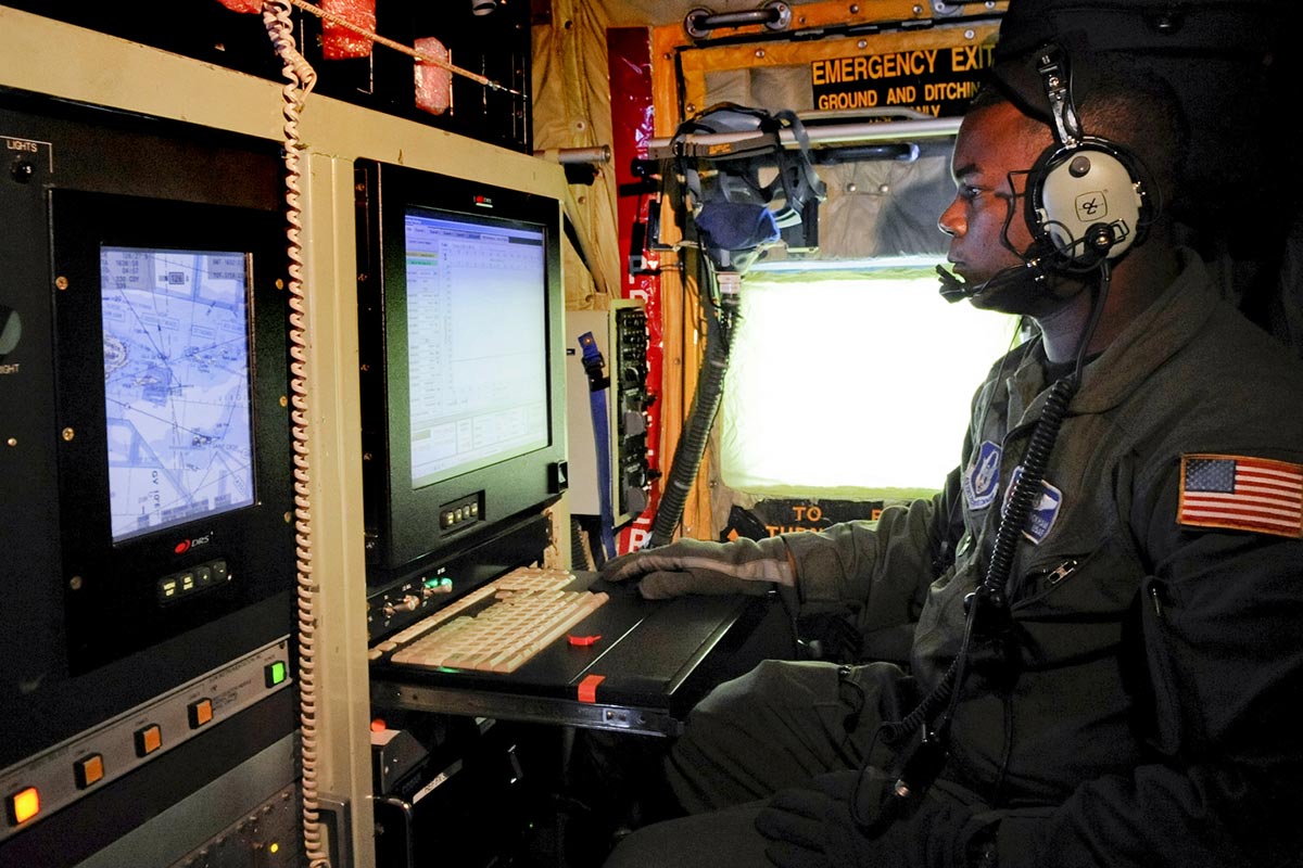
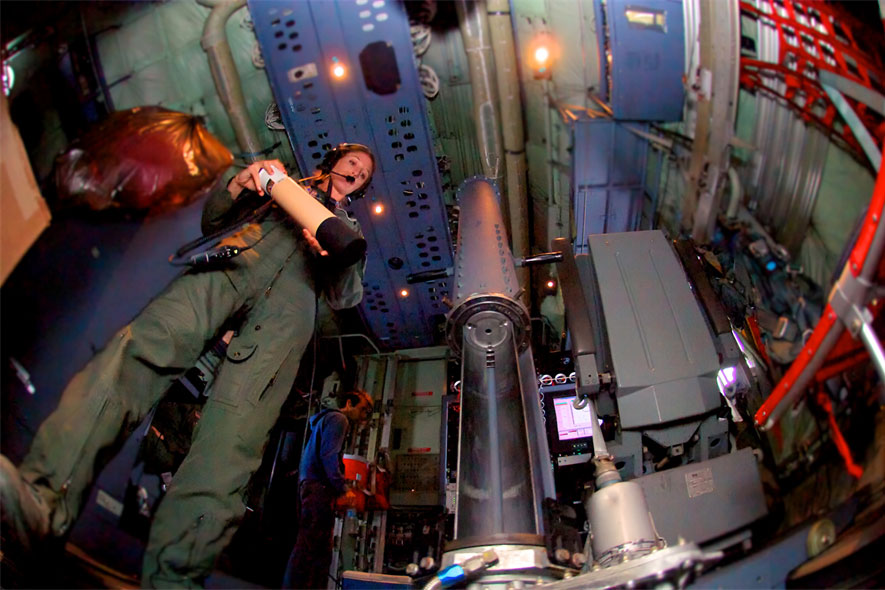
From the front of the cargo compartment, the aerial reconnaissance weather officer operates the computerized weather reconnaissance equipment and acts as flight director in the storm environment. The weather officer also evaluates other meteorological conditions such as turbulence, icing, visibility, cloud types and amounts and ocean surface winds. The ARWO uses the equipment to determine the storm's center and analyze atmospheric conditions such as pressure, temperature, dew point and wind speed.
A critical piece of weather equipment on board the WC-130J is the dropsonde system. The GPS Dropsonde Windfinding System is a cylindrically-shaped instrument about 16 inches long and 3.5 inches in diameter and weighs approximately 2.5 pounds. The dropsonde is equipped with a high frequency radio and other sensing devices and is released from the aircraft around every 400 miles over water. As the instrument descends to the sea surface, it measures and relays to the aircraft a vertical atmospheric profile of the temperature, humidity and barometric pressure and wind data. The dropsonde is slowed and stabilized by a small parachute. The dropsonde system operator receives, analyzes and encodes the data for transmission by satellite.
In May 2007, the WC-130J were equipped with the Stepped-Frequency Microwave Radiometer, which continuously measures the surface winds and rainfall rates below the aircraft.
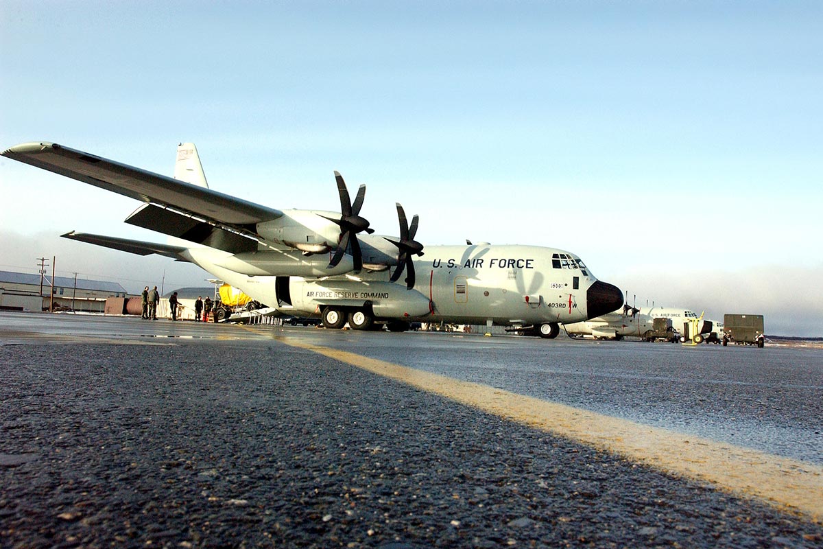
The WC-130 is flown exclusively from Keesler AFB by the 53rd Weather Reconnaissance Squadron, an AFRC organization assigned to the 403rd Wing known as the Hurricane Hunters. The hurricane reconnaissance area includes the Atlantic Ocean, Caribbean Sea, Gulf of Mexico and eastern and central Pacific Ocean areas.
The WC-130J Hercules is a modified version of the C-130 transport configured with computerized weather instrumentation for penetration of severe storms.
The WC-130B became operational in 1959, the E model in 1962, followed by the H model in 1964. Only the J model is currently in operation and replaced the H model.
The aircraft's most important function is to collect high-density, high-accuracy weather data from within the storm's environment. This includes penetration of the vortex, or hurricane eye, of the storm. The aircraft normally flies a radius of about 100 miles from the vortex to collect detailed data about the structure of the tropical cyclone
The information collected makes possible advance warning of hurricanes and increases the accuracy of hurricane predictions and warnings by as much as 30 percent. Collected data are relayed directly to the National Hurricane Center, in Miami, a Department of Commerce weather agency that tracks hurricanes and provides warning service in the Atlantic area.


")
")
")
")
")